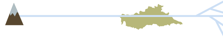
The Po River is the largest catchment basin in Italy and, together with its 141 tributaries, makes up a complex river system. Its source is in Piedmont, and its long stretches marks the border between Lombardy and Emilia-Romagna, and between Emilia-Romagna and the Veneto, before emptying into the Adriatic Sea in a vast delta of 380 km2 with 6 branches.

Average flow in the flood period: 9.000 m³/s
Maximum values (1951 and 2000): 13.000 m³/s

Average flow in low period: 300 m³/s
Historic low (2003): 270 m³/s

Move closer to the shore

Get closer then move away

Buoy on the right

Move away from the shore

Steady as she goes

Buoy on the left

Shallow draft vessels can sail the river during the low season.
tonnage 50 ton
maximum draft 80 cm
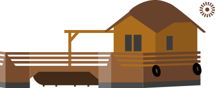
THE SHIP MILL harnesses the current to drive its blades... In the early 1900s, there were still around 300 floating mills on the river Po, most of then in the Mantua region. Although anchored to the shore, the mills moved to take advantage of the current.
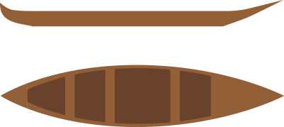
“GOING ALONG THE PO meant knowing how to use a long pole with a slightly blade widening at the end and equipped with solid forked iron fittings. You would use this device to steer a long and narrow, flat bottomed boat. It meant finding the right approach with water: a condescending, and only sometimes authoritarian approach which takes the current, the different configuration of the banks, submerged obstacles, wind, variations in water level and many other things into account.”


site based on the book:
The taste of exploring the Oltrepò Mantovano